Find the right
part of Belgrade.
Price, street noise, air, transit, cafés, schools, parks — 35 open-data layers across 1024 microdistricts. Tell the map what matters, and it ranks the neighbourhoods for you.
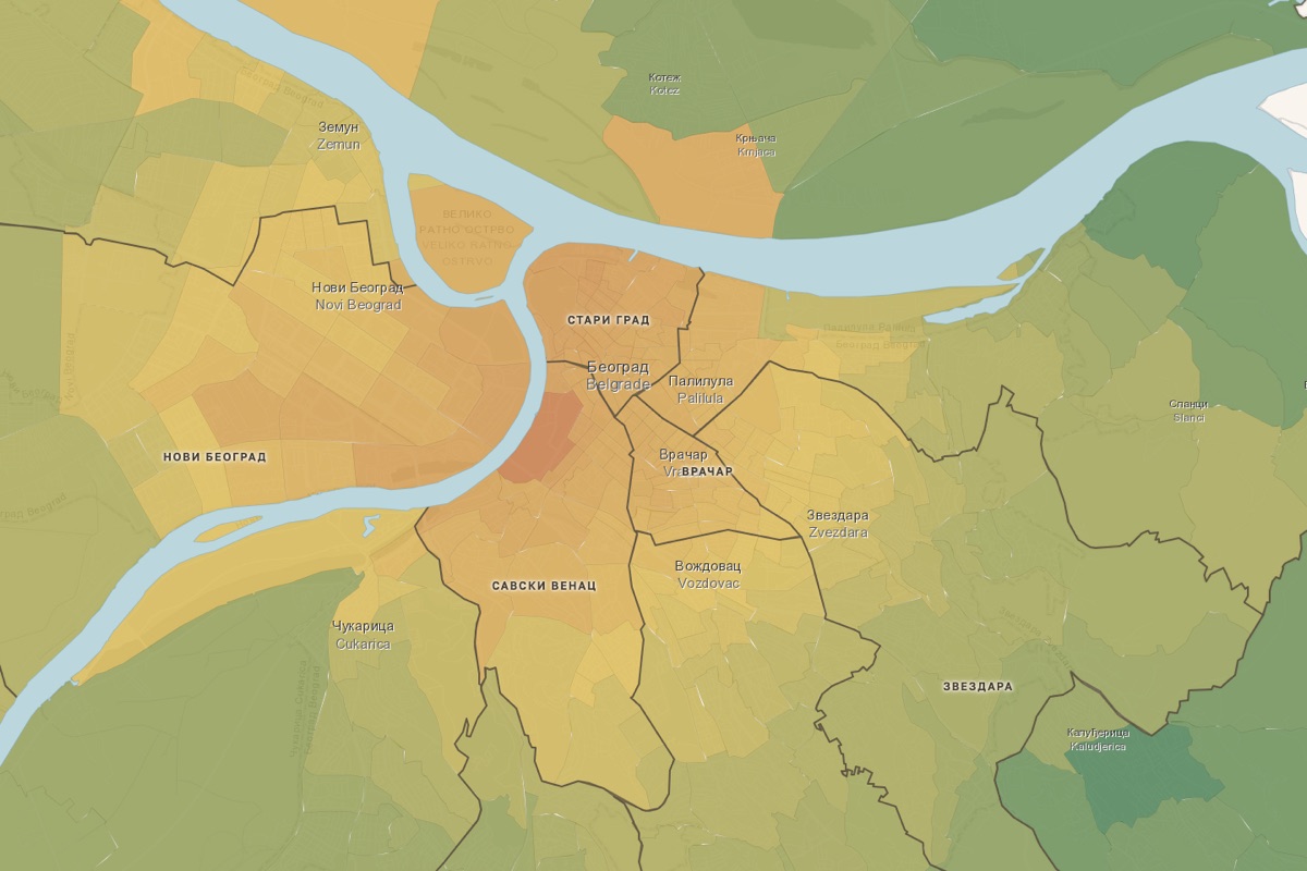
What this is
Moving to Belgrade means choosing among dozens of very different neighbourhoods — and the usual listing sites only show price. This atlas puts price next to the things that actually shape daily life: how loud the street is, how clean the air, how far the tram, how many cafés, schools and parks are within reach. Every number comes from an open source and is drawn down to the census-block level.
Four neighbourhoods, four characters
The same open data, read as places. Tap a card to open it on the map.
From the whole city down to a single street
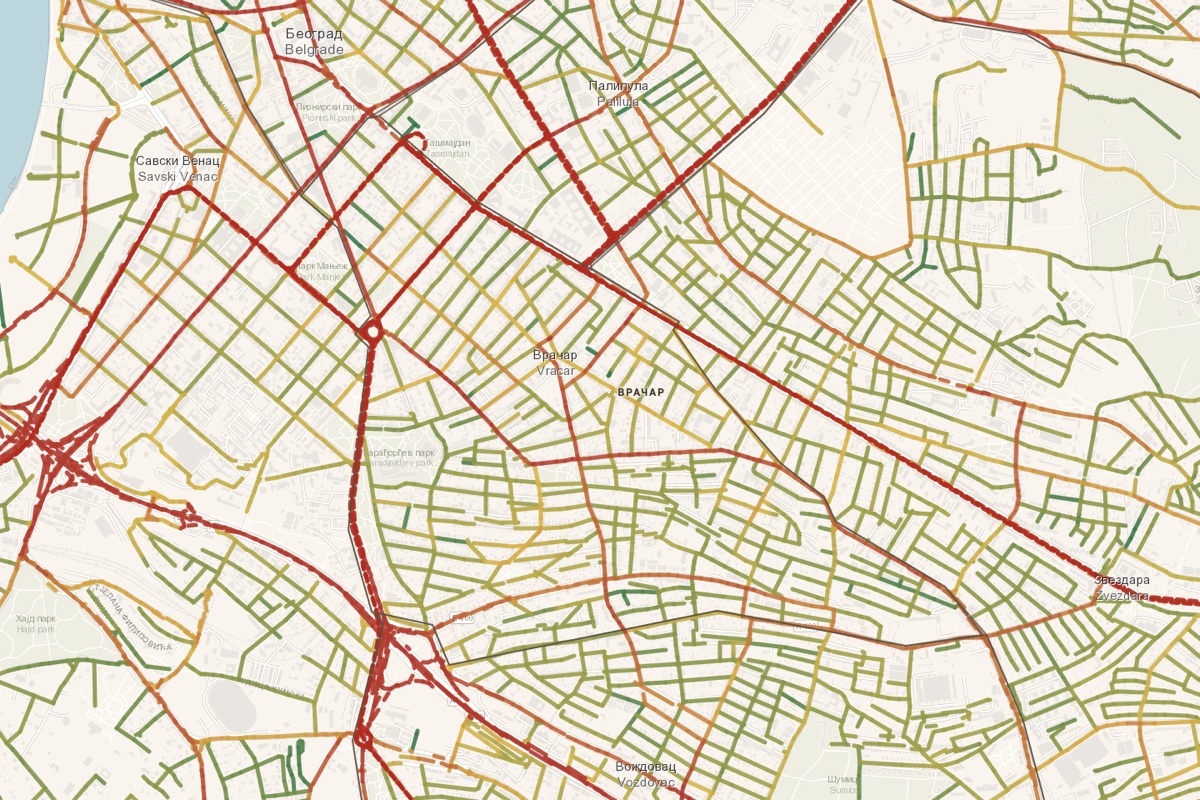
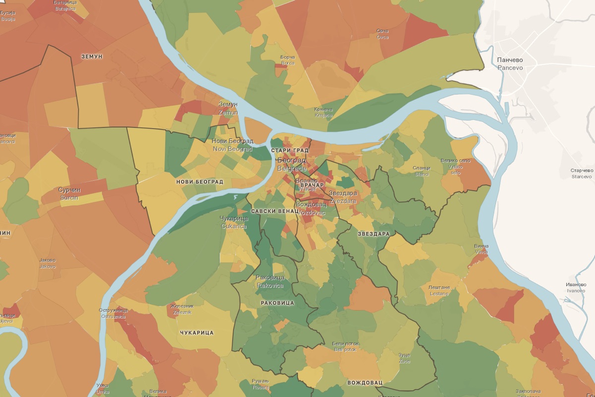
Pick a layer and the map recolours — 1024 microdistricts, or the street network itself.
Five chapters, 35 layers
Every neighbourhood scored on the things that matter — grouped into five readable chapters.
Prices
Rent & purchase €/m², with a 12-month window and price history.
Environment & people
Street noise, greenery, air, density and the age of residents.
Getting around
Transit, walkability, cycling, parking and garages.
Life nearby
Shops, cafés, health, family, culture, sport, nightlife, malls.
Inside the flat
Heating type, elevator, new-build, rooms, furnishing, security.
“Find your area”
Instead of scrolling layers one by one, tell the map what you care about — quiet, cheap rent, transit, nightlife, a park for the dog — with a few weighted sliders. It scores all 1024 microdistricts against your priorities and marks the best matches right on the map. Ten ready-made presets (family, car-free, student, hedonist…) get you started in one click.
Where the numbers come from
Boundaries from the Republic Geodetic Authority (RGZ); population and age from the 2022 Census (RZS); amenities, roads and landmarks from OpenStreetMap; rent and purchase prices from listing sites; air from sensor.community.